商品詳情
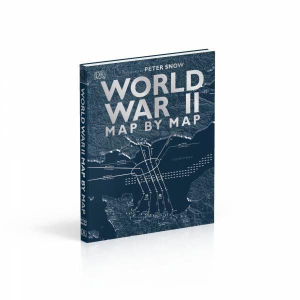
以百張大幅地圖爬梳二戰
【World War Ⅱ Map by Map】
地圖解析式二戰歷史
@英國DK原文書
@全彩精裝/288頁
@超大版面26.3 x 30.1 cm
其他DK人文/史地原文書請點擊下方連結
https://jimmyconniebooks.waca.tw/category/39778
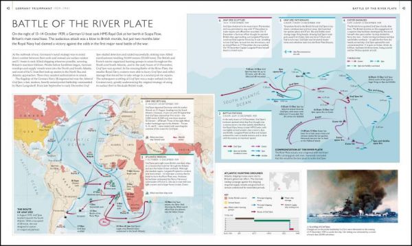
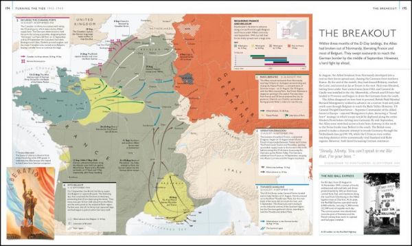
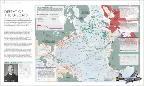
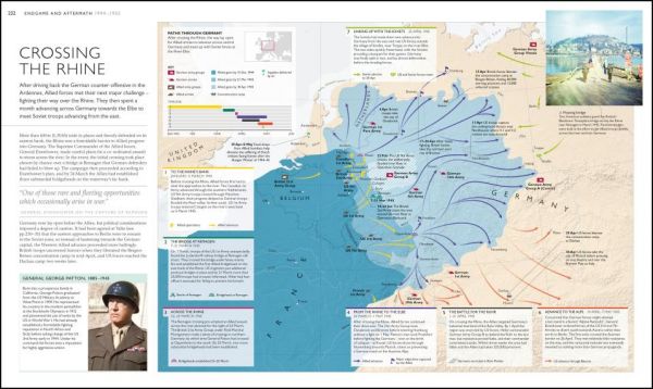
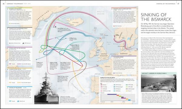
本書運用100張以上的全彩地圖,解析二次世界大戰的歷史脈絡,協助讀者了解各關鍵戰役的陸海空軍交戰軌跡、軸心國的崛起、死傷慘重的諾曼第大登陸,或是讓中立美國決定參戰的珍珠港事件、以及翻拍成電影的敦克爾克大撤退、造成數十萬平民死傷的廣島及長崎原子彈爆炸、列入史上最血腥戰役之一的列寧格勒圍城戰…等等。
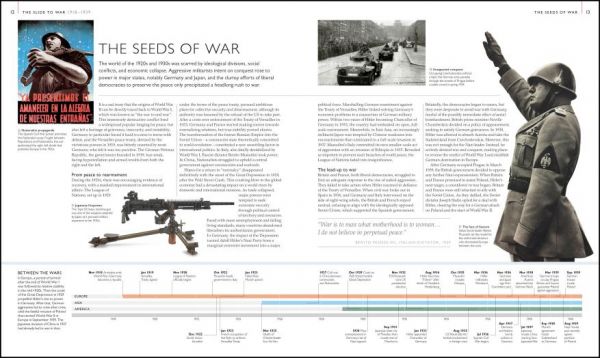
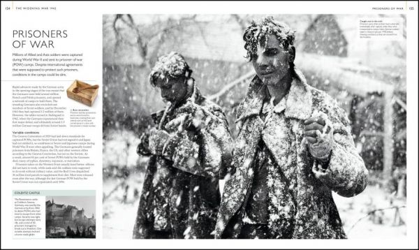
此外,書中輔以大量圖片,揭露如猶太集中營、閃電戰、神風特攻隊、密碼戰等震撼畫面,並繪製時間軸,搭配豐富的文字細節,詳述全球參戰的始末,從社會、經濟、政治、科技武器發展等不同面向切入歷史。
The deadliest war in history brought to life through bold, easy-to-grasp maps
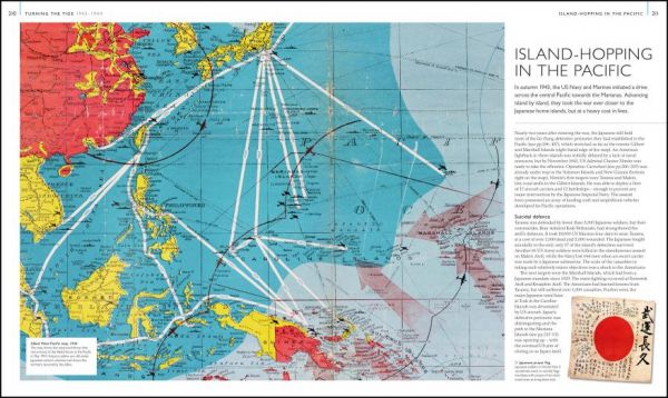
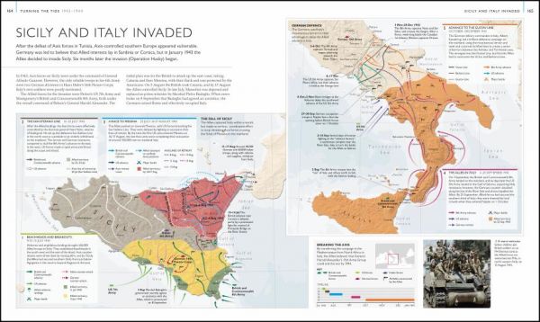
In this stunning visual history book, purpose-made maps reveal the full story of the Second World War. From the rise of the Axis powers to the aftermath of the atomic bomb attack on Hiroshima, this book shows how each step of the action took place. Each map is full of detail, charting the progress of the key events of World War II on land, sea, and air, including the Dunkirk evacuation, the attack on Pearl Harbor, the D-Day landings, the siege of Stalingrad, and the war in the Pacific.
As well as purpose-made maps, historical maps from both Allied and Axis countries give compelling insights into the course of the war. There are also timelines summarizing each stage of the conflict as it unfolded, while fascinating, large-scale photographs offer a closer look at life both on and off the battlefield, introducing topics such as blitzkrieg tactics, civilian life in wartime, code-breaking, and more.
Written by a team of historians headed by Richard Overy as consultant, World War II Map by Map shows how the deadliest conflict in history changed the face of our world. It is perfect for general readers, students, and military history enthusiasts everywhere. Includes a foreword by Peter Snow, broadcaster and historian.


